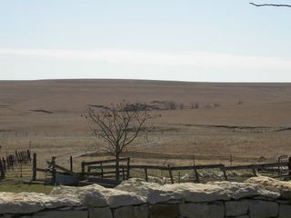
Home Sweet Home
So the other day I was surfing around Google Maps with Margaret looking at our home towns, college campuses, etc. When I was panning between the depleted uranium dump across the street from my elementary school over to my high school, I noticed an odd pattern in the grass (push the "satellite" button after you click the link or you'll just see the map).
I have to believe that there are more spots like this on Google Maps and I imagine that this was done for the benefit of people on the highway rather than the Google Satellite Cam. Would there even be any way to know when your field was likely to be photographed? I can't really say I'm that surprised.
I have to believe that there are more spots like this on Google Maps and I imagine that this was done for the benefit of people on the highway rather than the Google Satellite Cam. Would there even be any way to know when your field was likely to be photographed? I can't really say I'm that surprised.

